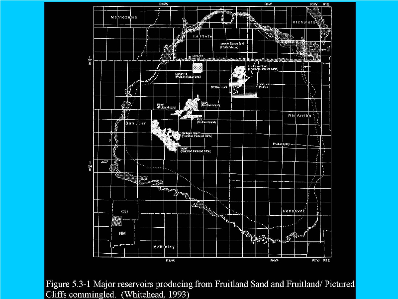
A dotted line still “depicts” limited Pictured Cliffs exposure to the east, but another indicates the Fruitland “playing out” before this, confirming the EPA's map, supra, that shows reservoir truncation near the Continental Divide.
Geology fails to support October 2014 leasings to the east.
BLM's maps of its Primary Study Areas do not appear to include the Santa Fe National Forest parcels in Rio Arriba County, making a FONSI for their EA impossible, infra.
BLM's Farmington Office “reportedly” misrepresented location, and the drinking water quality in the Morrison Formation of the Chama Platform as being poor, to the Rio Grande Sun and County Officials, respectively.