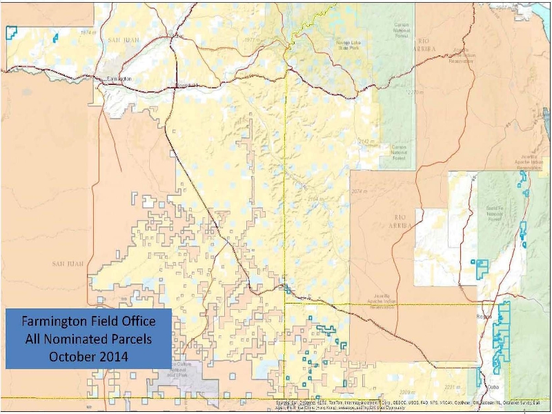
Coyote, Gallina, Regina, and Llaves were allegedly “scoped”, but only on BLM's web site for two weeks.
Hwy 96 queries in Coyote, Gallina, and Regina produced no awareness of “NEPA scoping”, even in post offices.
Oil and gas pipelines markers already along Hwy 112, indicate oil and gas exploration underway in the area.
Little drilling was evident south of Llaves, but conventional oil pumping was obvious, indicating a mature field.
An EPA map, infra, shows that eastern parcels have been subjected to glacial stripping, and flushing with melt.
Erosion and truncation of oil & gas bearing Fruitland Shale above Pictured Cliffs is best explained by glaciation.